Viking harbour in Scotland's Loch na h-Airde designated as scheduled monument
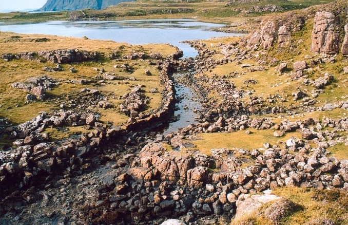
Rubha an Dùnain is a peninsula to the south of the Cuillin hills on the island of Skye (An t-Eilean Sgitheanach) in Scotland. The headland rises to a height of over 98 feet (30 metres) above sea level. To the east of the peninsula is the freshwater loch of Loch na h-Airde. The peninsula has a variety of archaeological sites dating from the Neolithic period onwards. It is also known that an artificial canal had been created by the Vikings during Norse rule that runs from Loch na h-Airde to the sea.
In 2009 archaeologists discovered boat timbers dated to the 12th century, a stone-built quay in the loch and a system to maintain a constant water level in the loch. It is believed that the loch was an important site for maritime activity for many centuries, with boats being built and repaired there. Now the medieval harbour and canal on the Isle of Skye have been designated scheduled monuments by The Historic Environment Scotland (HES). The nearby Creag a' Chapaill Cave which shows evidence of having been used by people from at least the 3rd millennium BC until the early medieval period has also been given scheduled monument status. This status now gives the sites greater protection.
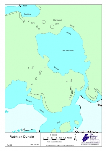
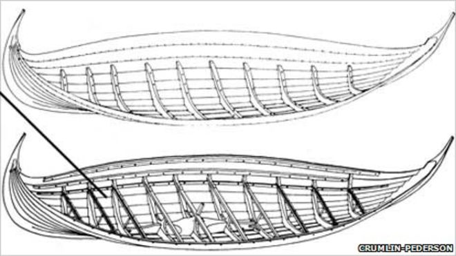
Below: Rubha an Dùnain Viking canal. Map of Viking canal. Illustration from RCAHMS of type of boats built on Skye.


