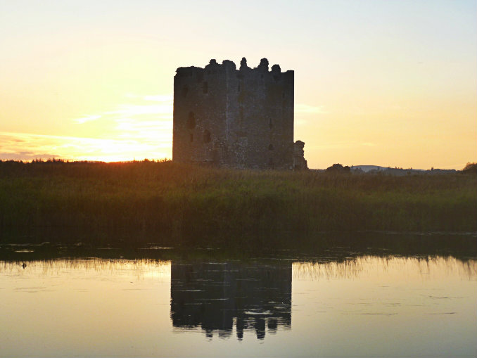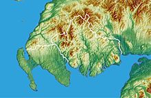
Dumfries and Galloway (Scottish Gaelic: Dùn Phrìs is Gall-Ghaidhealaibh) is a unitary council area in south-west Scotland. It is an area known for its natural beauty made up of forests, coastline, shores, hills, estuaries and winding rivers all with an abundance of wildlife. It has Scotland’s most southerly point, the Mull of Galloway (Scottish Gaelic: Maol nan Gal), from which can be seen clear views of the nations of Ireland and Isle of Man. The part of Dumfries and Galloway that is Galloway (Scottish Gaelic: an Gall-Ghaidhealaibh) is now made up the the historic counties of Stewartry of Kirkcudbright and Wigtownshire. The area has a rich history and the remains of prehistoric monuments and carvings can be found, including the Drumtroddan Cup and Ring Carvings, Drumtroddan Standing Stones and neolithic chambered cairn of Cairnholy. It also has some place-names derived from the Brythonic Celtic language and links to the Pictish people.

At one time it was known as the Kingdom of Galloway. A Kingdom which at periods covered a much larger area than the present area that we know as Galloway. Including parts of southern Ayrshire (Scottish Gaelic: Siorrachd Inbhir Àir), Carrick (Scottish Gaelic: A' Charraig), Nithsdale (Scottish Gaelic: Strath Nid), The Stewartry of Kirkcudbright (Scottish Gaelic: Cille Chuithbeirt), Nithsdale; Scottish (Gaelic: Srath Nid) and beyond. The Gaelic origins of the name of Galloway gives an indication of the influence of Norse-Gaels (people of Gaelic and Scandinavian origin). As such, for a significant period it was associated with the other Norse-Gael lands of the Hebrides, Isle of Man, Dublin and the Kingdom of Man and the Isles.