Ceredigion section of Wales Coastal Path damaged by storms re-routed and open again
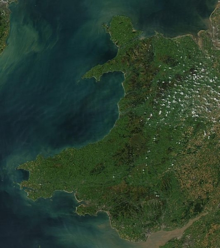
The Wales Coast Path (Welsh: Llwybr Arfordir Cymru) is a 870-mile (1,400 km) walking route that follows or runs close to the coastline of Wales from Chepstow (Welsh: Cas-gwent) in the south to Queensferry in Flintshire (Sir y Fflint) in the north. The Wales Coast Path is recognised as having national importance for its outstanding scenery, wildlife and historic features. The Path runs through eleven National Nature Reserves and other nature reserves and travels through some of the most beautiful countryside in the world. Millions are attracted to the path every year.
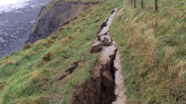
Maintaining the Wales Coast Path is an all-year-round job, undertaking remedial and repair work as required and identifying necessary improvements. Storm damage is always a source of potential problems. This was highlighted by recent problems along the Wallog and Clarach, Ceredigion section of the path when a large crack appeared earlier this month. Safety is paramount but every effort is made to ensure that the path is brought back into public use as rapidly as possible. This was demonstrated by how quickly the problems in this section was dealt with by Ceredigion Council. Work by council officers and contractors along with the support and cooperation of the local landowner has resulted in the path being re-routed and now open again for use.
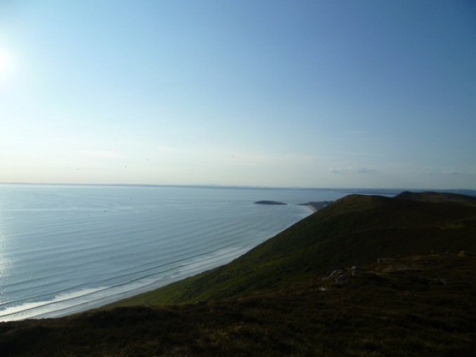
Below: Crack that closed a section of the coast path near Aberystwyth. Picture from Ceredigion Council. Wales Coast Path logo. Wales satellite image by NASA. Gower Peninsula western coast.


